When a Raindrop Falls in the US, Where Does It End Up?
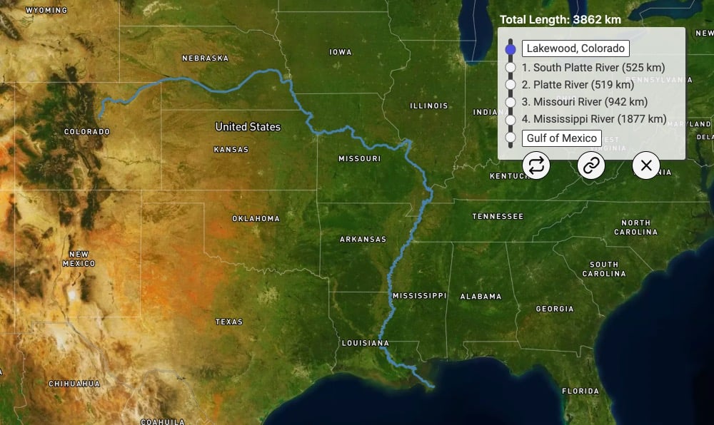
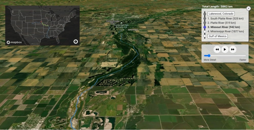
Using data from the United States Geological Survey, River Runner visualizes the path taken by a raindrop from its landing spot to its eventual endpoint. Just click on any spot in the US and it maps out the path the drop would take, complete with a satellite fly-through of the route. I spent many happy minutes playing with this, although the endpoint of “Canada” for a raindrop that lands in my Vermont yard was somewhat unsatisfying.
See also The Marvelous Mississippi River Meander Maps and a map of all of the rivers in the US. (via waxy)
Stay Connected