Seven Square Miles


Over at In Focus, still the world’s best photoblog (remember those!?), Alan Taylor is looking at different parts of the world from the same height.
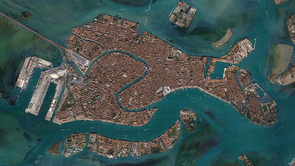
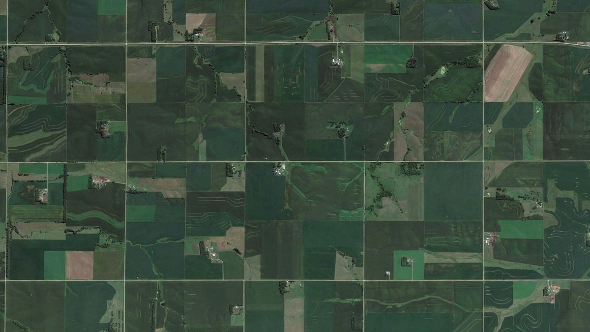
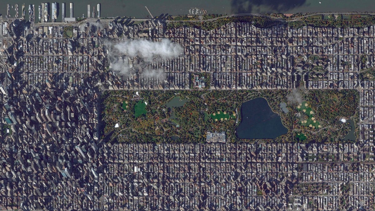
Spending time looking at the varying and beautiful images of our planet from above in Google Earth, zooming in and out at dizzying rates, I thought it would be interesting to compare all of these vistas at a fixed scale-to see what New York City, Venice, or the Grand Canyon would look like from the same virtual height.
Each of the 38 images selected by Taylor shows about seven square miles of the Earth’s surface. The three images I’ve excerpted here are, from top to botton, Venice, Wisconsin farmland, and Manhattan. This planet really is dizzyingly beautiful.
This reminds me of The Jefferson Grid project (showing 1 sq mile satellite photos of the US). There’s another project which I swear I’ve seen recently that shows the grids of streets in cities from around the world and how they vary widely, but I can’t find it. Anyone?
Update: Re: the other project I couldn’t remember, several people sent in Geoff Boeing’s city street orientation project (which I posted about here) but it was probably another project of Boeing’s that I was thinking of: Square-Mile Street Network Visualization. He based the project on the work of Allan Jacobs in Great Streets. (thx, @simiasideris)


Stay Connected